
explore
Hiking the Gozo Coastal Trail: how many days it takes, and where you actually sleep
The Gozo Coastal Trail is a ~50km loop, usually 2–4 days. With no legal campsite on Gozo, here's where hikers sleep: Xlendi, Marsalforn or Victoria.
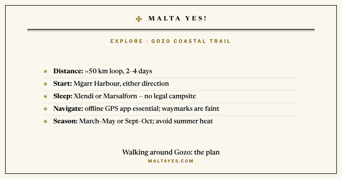
The Gozo Coastal Trail is a walk of about 50 kilometres right around the island’s coast, and most people do it in two to four days. The single question that trips walkers up is where to sleep, because Gozo has no legal campsite — so instead of pitching a tent, you break the walk in one of the seaside towns and stay in a guesthouse. This guide covers the realistic day-by-day route from Mġarr, why wild camping is not an option here, where hikers actually stay each night, and the two things that catch people out: the navigation and the terrain.
The Gozo Coastal Trail, in brief
- Distance: about 50 km (sources say 48–55 km, depending on the exact route) around the whole coast
- Time: two to four days — three is the most common, four is relaxed, two is for strong walkers
- Start: Mġarr Harbour, the ferry port — easy to reach, and you can walk it in either direction
- Sleeping: no legal campsite on Gozo, so hikers stay in guesthouses in Xlendi, Marsalforn or Victoria
- Navigation: not one signed trail — the waymarks are faint, so an offline GPS map app is essential
- Best season: spring (March–May) or early autumn (September–October); avoid the June–August heat
The route: a realistic two-to-four-day itinerary from Mġarr
The trail is a loop, so you finish where you start. Almost everyone begins at Mġarr Harbour, because it is where the Gozo ferry arrives and it is easy to reach by bus from anywhere on the island. From there the path follows the coastline all the way round, passing Ramla Bay, the dramatic cliffs at Dwejra, the deep inlet at Xlendi and the resort bay of Marsalforn before returning to Mġarr.
One thing to know up front: this is not a single, official, government-signed trail. Visit Gozo lists nine separate planned walks — village and heritage routes — and the continuous “coastal trail” is stitched together from those paths plus the open coast by hikers and GPS platforms. That is why you will see the total quoted anywhere from 48 to 55 km: there is no one fixed line.
A well-documented first-hand account walked it in three days, and the daily splits give a realistic picture of the effort:
| Day | Stage | Distance | Climb |
|---|---|---|---|
| 1 | Mġarr → Xlendi | 13 km | 330 m |
| 2 | Xlendi → Marsalforn | 18 km | 510 m |
| 3 | Marsalforn → Mġarr | 16 km | 370 m |
That is about 47 km in total — close to the usual “50 km” figure. Split it over four days if you want more time at the bays, or compress it into two long days if you are fit and travelling light. The daily distances look modest, but read the terrain section before you assume they are easy.
Why you can’t just pitch a tent along the way
The obvious idea — carry a tent and wild-camp each night — does not work on Gozo, and it is worth being clear why. Malta has only two official public campsites, and both are on the main island (Marfa Ridge near Mellieħa, and Għajn Tuffieħa). Gozo has no officially designated camping zone at all.
Wild camping is not flatly banned: in theory you can get a permit from the relevant Local Council. In practice that route is obscure — there is no simple online application like the mainland’s, the fee is quoted informally at around €30, and we could not find a single first-hand account of a hiker actually using it. The honest position is that every documented multi-day hiker skipped camping and booked a room. For the full picture of where camping is legal across the Maltese islands, see our guide to camping in Malta.
Where multi-day hikers actually sleep: Xlendi, Marsalforn or Victoria
Because the route passes through or near several towns, you do not carry a tent — you plan your overnight stops around real beds. Three places do most of the work:
- Xlendi — a small, steep-sided seaside inlet on the south-west coast. It tends to be the quieter and cheaper of the two coastal bases, and it sits naturally at the end of a first day from Mġarr.
- Marsalforn — the larger, busier resort town on the north coast, with the widest choice of guesthouses and places to eat. It makes a natural second night.
- Victoria (Rabat) — Gozo’s inland capital, a little off the coast but linked by bus to everywhere. It is a useful budget fallback if the coastal towns are full or pricey.
As a rough guide, expect around €40–85 a night off-peak, with Xlendi at the lower end and rates climbing sharply on Saturdays and in high summer. If you would rather base yourself on Gozo for a longer stay and walk the route in sections, our guide to basing yourself in Gozo covers the trade-offs.
Navigation: the waymarking is unreliable
This is the part every guide agrees on, and the part that catches people out. The Gozo Coastal Trail is not consistently signposted. In some places you will find faded red or blue dots painted on rocks; in others, nothing at all. Because the “trail” is really several paths joined by the open coast, it is easy to drift onto the wrong track.
So an offline map app is essential, not optional. Load the route onto Wikiloc, AllTrails or Komoot before you set off, download the map for offline use, and check your position regularly rather than trusting signs that may not be there. This matters even more on the exposed stretches, where taking the wrong path can mean a long backtrack along a cliff.
Terrain and safety: the scrambles, the cliffs, and one private stretch
Do not be fooled by the modest daily distances. The Gozo Coastal Trail includes real scrambling — the descent into the Mġarr ix-Xini cove and the climb out of Xlendi both need hands as well as feet — and long exposed sections along the cliff edge where sure footing matters. Every guide is clear that this is not a casual family stroll. Wear proper walking shoes, keep well back from crumbling cliff edges, and do not attempt the exposed parts in strong wind.
A smaller point on access: some stretches cross land marked “private, no entry.” The hiker consensus is that these signs can generally be ignored where a public footpath runs through — with one exception, a short private section near the north-west tip that needs a short detour. Follow your GPS track and the local waymarks here rather than pushing through anything fenced.
Best season to walk it
Walk it in spring (March–May) or early autumn (September–October). Avoid June, July and August: Gozo’s coast is largely treeless and shadeless, and the summer heat turns the exposed sections genuinely risky. This is the same reasoning behind treating trail running in Malta as an October-to-May activity — no shade, strong sun, and not enough water on the route. Spring adds green hills and wild flowers; early autumn gives you warm sea for a swim at the bays along the way, such as the salt-pan coast at Dwejra. Whenever you go, carry far more water than you think you need.
Frequently asked questions
How many days does it take to walk around Gozo?
Most walkers take three or four days to complete the roughly 50 km coastal loop. Three days is the common choice, with daily stages of around 13–18 km; four days gives you more time at the bays and villages. Strong, light-travelling hikers can do it in two long days, but the exposed terrain and the scrambling make that harder than the distances suggest, so plan conservatively for a first attempt.
Can you camp along the Gozo Coastal Trail?
Not legally in any straightforward way. Gozo has no officially designated camping zone, and Malta's only two official public campsites are both on the main island. A Local Council permit is said to exist for wild camping, but there is no simple online system and the process is obscure, so in practice every documented multi-day hiker stays in guesthouses in Xlendi, Marsalforn or Victoria instead of carrying a tent.
Is the Gozo Coastal Trail hard?
The daily distances are modest, but the walk is harder than it looks. It includes real scrambling — the descent into Mġarr ix-Xini and the climb out of Xlendi — and long exposed cliff-edge sections that demand sure footing. The bigger challenge is navigation, because the trail is poorly signposted. With an offline GPS app, proper shoes and a cool-season start, a reasonably fit walker will manage it.
Which direction should you walk it — clockwise or anticlockwise?
Either works, and no source strongly prefers one. Most people start at Mġarr Harbour simply because that is where the ferry lands and the buses run. Choose your direction by where you want to spend each night: for a three-day plan, walking so that you reach Xlendi at the end of day one and Marsalforn at the end of day two spaces the accommodation sensibly. Load your chosen direction into your GPS app before you start.